Connected Routes

Connected Routes
Accessing safety assistance in Canterbury city centre
Connected Routes
Follow the Connected Routes map if you're travelling home from a night out in the city centre.
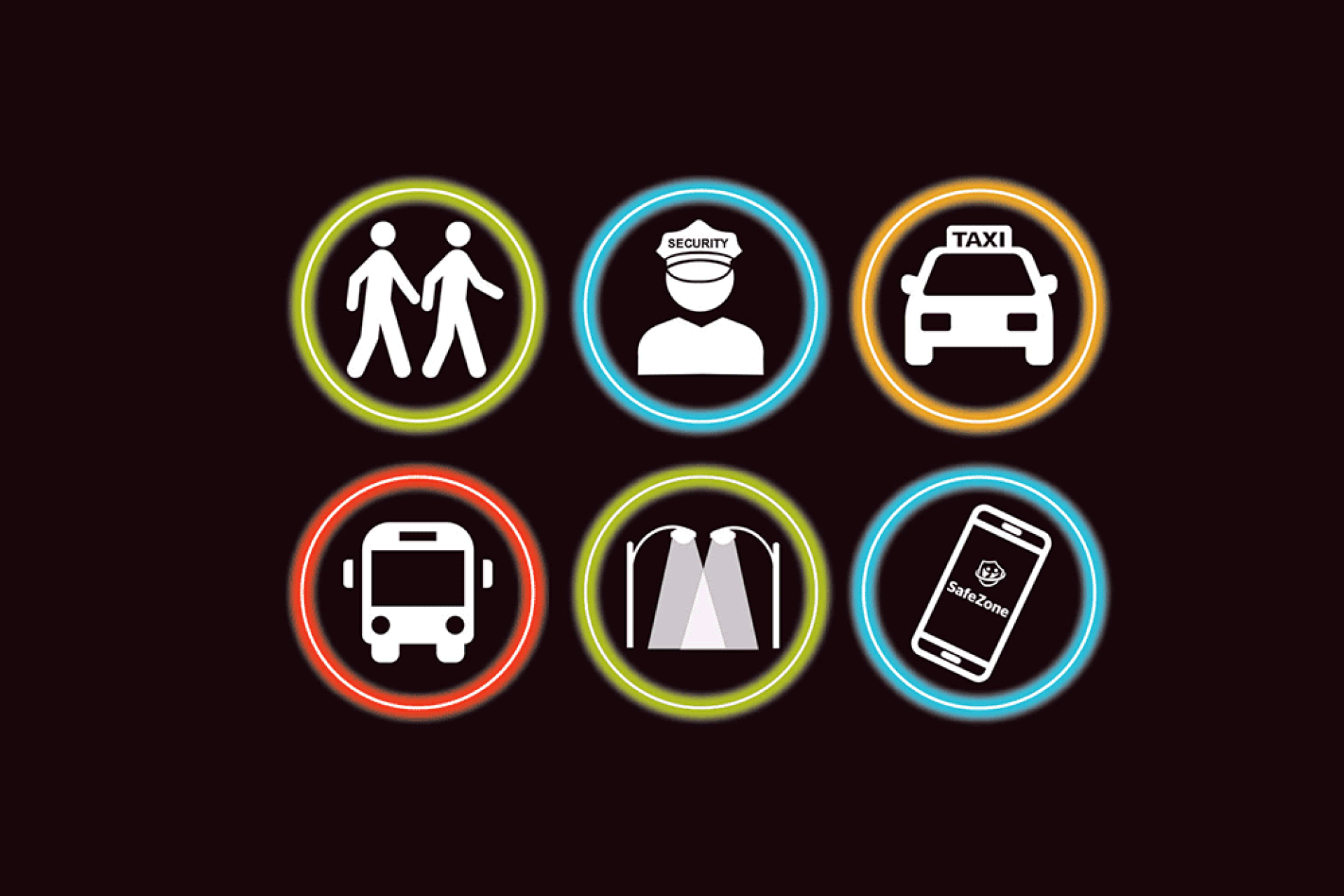
The map includes routes where there are regular patrols, refuge points, and increased lighting and CCTV coverage. It is also covered by the SafeZone app.
Any activation of SafeZone on the Connected Routes will give the University of Kent or Canterbury Christ Church University security control room your location, so they can offer you support.
Download a copy of the map to refer to later:
The Connected Routes map was created in partnership with Kent Students' Union.
What we will do
If you need help in town and activate SafeZone, we will contact you on your mobile and assess the situation. Some of the things we'll do is:
